Geological data insights for exploration geologists
With PhotoSat’s alteration mineral maps, geologists get the unique data required for selecting targets for advanced exploration, without a site visit.
Orthophoto
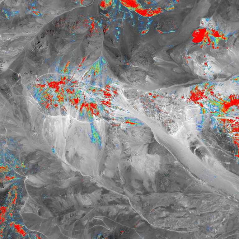
Jarosite with WorldView-3
Orthophoto
Jarosite with WorldView-3
Satellite Imagery
PhotoSat uses multispectral satellite imagery from optical satellites to produce alteration maps for exploration projects. PhotoSat works with new or archive satellite imagery from Maxar’s WorldView-3, and archive imagery from ASTER.
Spectral Matching
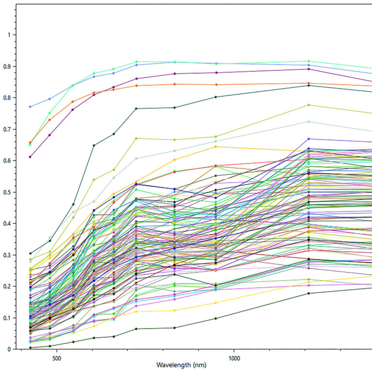
In 2018, PhotoSat launched its current processing method, based on spectral matching. This method differentiates between up to 13 key minerals, with reliable detection, repeatable results, and fewer false positives.
Spectral Matching
In 2018, PhotoSat launched its current processing method, based on spectral matching. This method differentiates between up to 13 key minerals, with reliable detection, repeatable results, and fewer false positives.
Deep Learning Technology
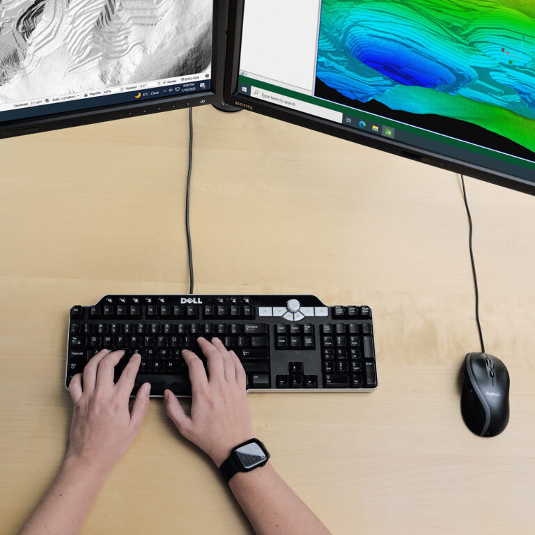
PhotoSat’s proprietary data processing uses deep learning technology. Our convolutional neural nets (CNN) undergo extensive testing and training, resulting in processes that are consistent and continually improving.
Mineral Detection
PhotoSat's alteration process detects 13 key minerals, helping exploration professionals select the best drill targets for advanced exploration.
alunite, kaolinite, buddingtonite, opal/chalcedony, calcite, chlorite/epidote, montmorillonite, sericite, goethite, hematite, jarosite, iron oxide gossans, and silica
Applications
With WorldView-3, geologists get high-resolution alteration maps, detailed and ideal for property scale exploration.