Decisions are only as good as the information they are based on. At PhotoSat, we passionately believe that better data leads to better decisions.
It is our mission to support safe and responsible projects – from infrastructure construction to resource development – around the world. We deliver data and associated insights that geologists and engineers can rely on.
Our Values
Desire to be the best.
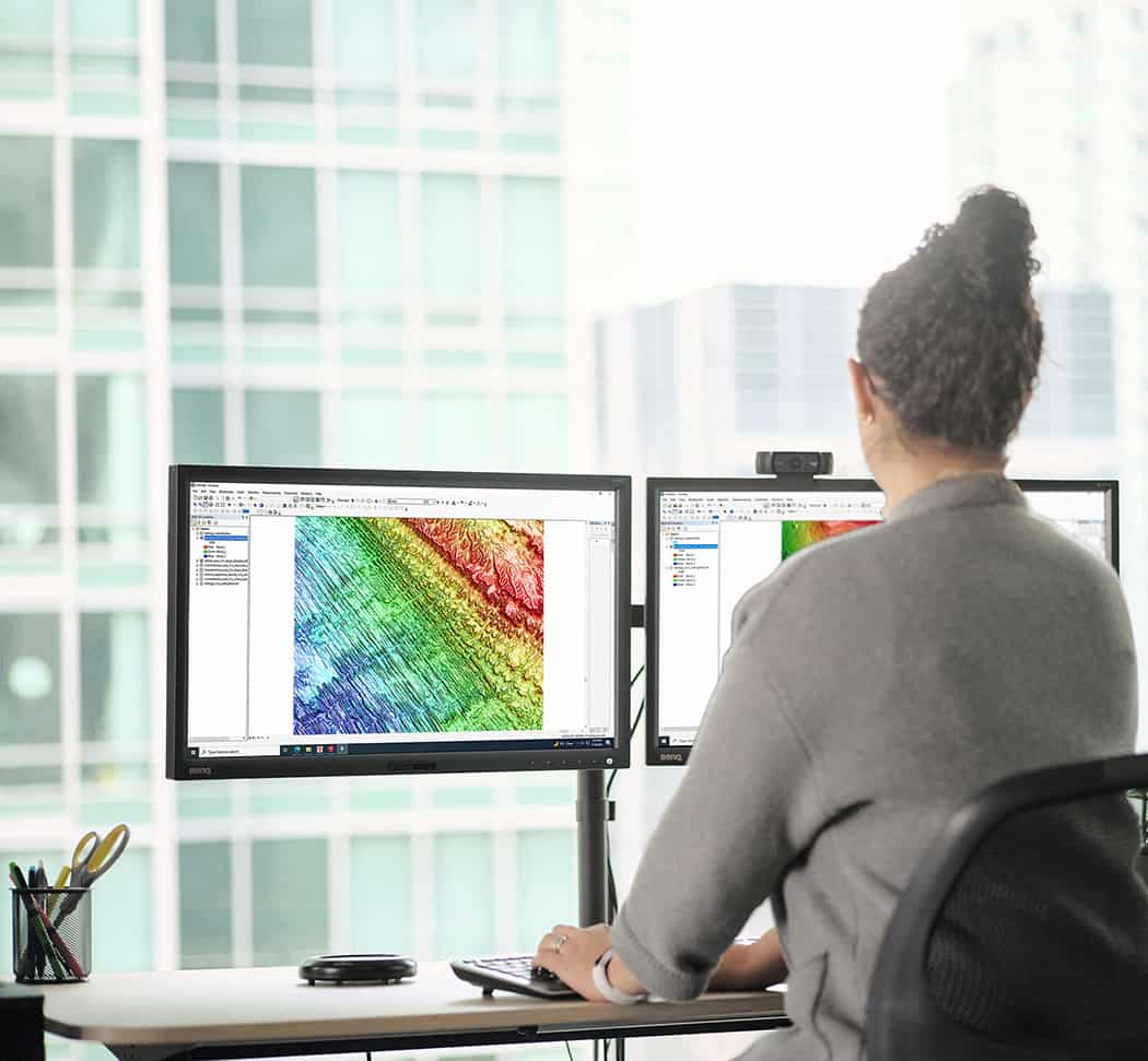
We leverage the best in satellite technology with proprietary technology to deliver unique data insights to engineers and geologists around the world.
Always create value.
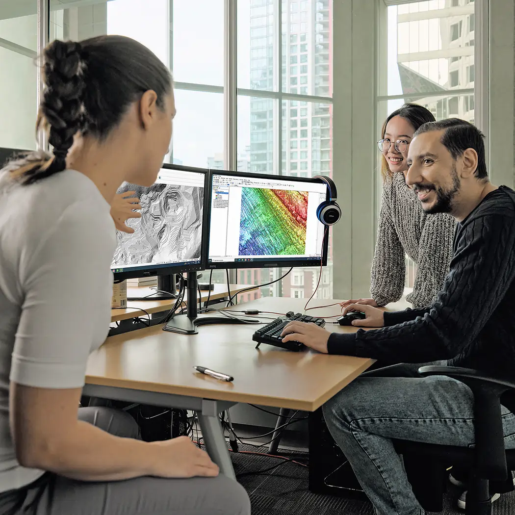
We believe in creating value for our clients. We strive to understand each client’s’ challenges and create innovative solutions to meet each challenge, from digital elevation models to alteration maps.
We’ve got your back.
Collaboration is crucial to success. Our teams work cross-functionally every day to deliver best-in-class geospatial data. We actively foster a culture of support, teamwork, and mutual respect.
Quality & Environmental Policy
ISO 9001 & ISO 14001
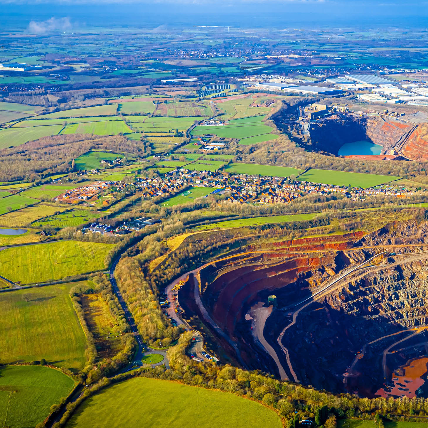
PhotoSat's Quality and Environmental Management System covers the provision of geospatial solutions, including satellite imagery, topography, mineral alteration mapping, and associated insights to clients in mining, oil & gas, agriculture, environmental monitoring, civil construction, and other related industries.
All services are delivered with a strong commitment to quality excellence and environmental protection in accordance with ISO 9001 and ISO 14001 standards.
Our Integrated Management System supports continual improvement, regulatory compliance, environmental stewardship, and the consistent delivery of high-quality geospatial services.
Gerry Mitchell, P.Geo., founds RGI industries, assembling a team of remote sensing specialists and geoscientists. The company offers a range of consulting services on geospatial solutions.
1993
2003
Satellite Imagery
PhotoSat produces alteration maps from Landsat and ASTER satellite data. The team develops a geophysical processing system to create topographic maps from stereo satellite imagery.
Engineering Grade
The team improves processing methods, achieving engineering-grade vertical accuracies of 30 cm. Major oil and gas companies work with PhotoSat topography for exploration and development.
2008
2012
Elevation Surveys
Suncor becomes PhotoSat’s first major oil sands client. PhotoSat achieves accuracies of 20 cm in elevation surveys.
Data Insights
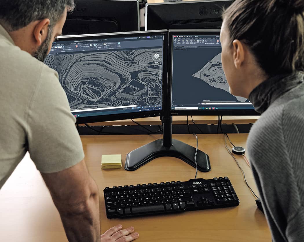
PhotoSat develops its first data insights, with water body detection, mine site toes and crests, and infrastructure digitization.
2016
2018
Deep Learning Technology
PhotoSat’s software developers introduce deep learning technology to all data processing systems, including elevation surveying and alteration mapping.
Spectral Matching
Alteration mineral maps are now produced through spectral matching with deep learning, giving reliable results for 13 key minerals including alunite, kaolinite, and jarosite.
2019
2020
Archive Surveys
PhotoSat produces the first Archive Surveys of tailings facilities by processing stereo satellite imagery from declassified spy satellites and commercial archives.
About the Founder
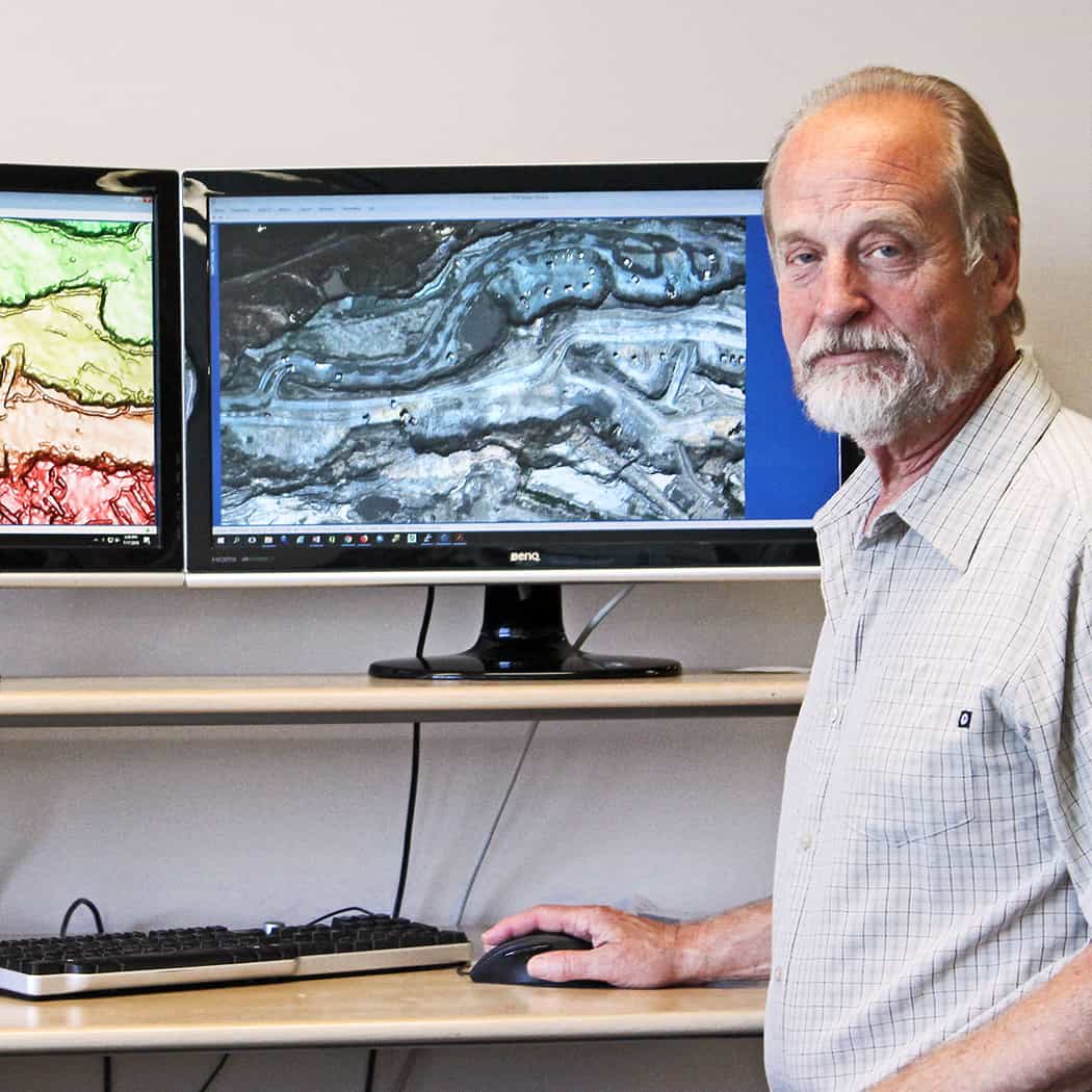
Gerry Mitchell, P.Geo.
PhotoSat was founded in 1993 by Gerry Mitchell, a Professional Geophysicist and Professional Geoscientist.
Gerry attended the University of British Columbia, earning his Bachelor of Science and Master of Science in Geophysics .
Before stepping out as an entrepreneur, Gerry gained professional experience at a senior technical level in both hydrocarbon and mining exploration. In a career spanning two decades, Gerry held several positions at BP, including Senior Mining Geophysicist for Canada and Senior Seismic Specialist for West Canada Basin Oil and Gas Exploration. Later he relocated to London, England, where he continued his career with BP as a Remote Sensing Specialist for Frontier and International Oil and Gas Exploration.
It was in these technical roles that Gerry saw the impacts of poor-quality data on a project. From topographic errors to false positives in alteration mapping, any error could seriously delay or derail a project.
In 1993, Gerry moved back to Canada where he founded PhotoSat. Over the years, he built a talented and multi-disciplinary team of professionals. By 2004, PhotoSat started developing data processing systems for special applications to satellite imagery.
In 2021, Gerry stepped down as president, but remains actively involved as the Company Director.