Surveying for Mining & Development

Orthophoto

Site-wide images for project management
PhotoSat’s Orthophotos give project managers an accurate look at the entire site, without gaps or distortions.
Key applications:
  • Project management
  • Compliance and audits
  • Site records
Technical Specifications:
Type
Orthorectified photo
Orthophoto Resolution (Pixel Size)
Based on satellite specifications More Info
Satellite Specifications for Orthophotos
Specifications for orthophotos depend on the satellite used to acquire the imagery.
Satellite Orthophoto Resolution (Pixel Size) Orthophoto Colour
WV1 50 cm Greyscale (Colourization available)
WV2 50 cm Colour
WV3 30 cm or 50 cm Colour
Pleiades 1A/1B 50 cm Colour
SPOT 6 1.5 m Colour
SPOT 7 2 m Colour
ALOS PRISM 2.5 m Colour
GeoEye 50 cm Colour
Vegetation Removal
No
Available from Archive Imagery
Yes
Satellites Source(s)
WV1, WV2, WV3, GeoEye, Pleiades 1A/1B, Pleiades Neo
Delivery Schedule
Monthly; quarterly; bi-annually; annually
Area of Interest
Custom

Deliverables

PhotoSat's Orthophotos are available in different file formats.
Survey Deliverables Optional Deliverables
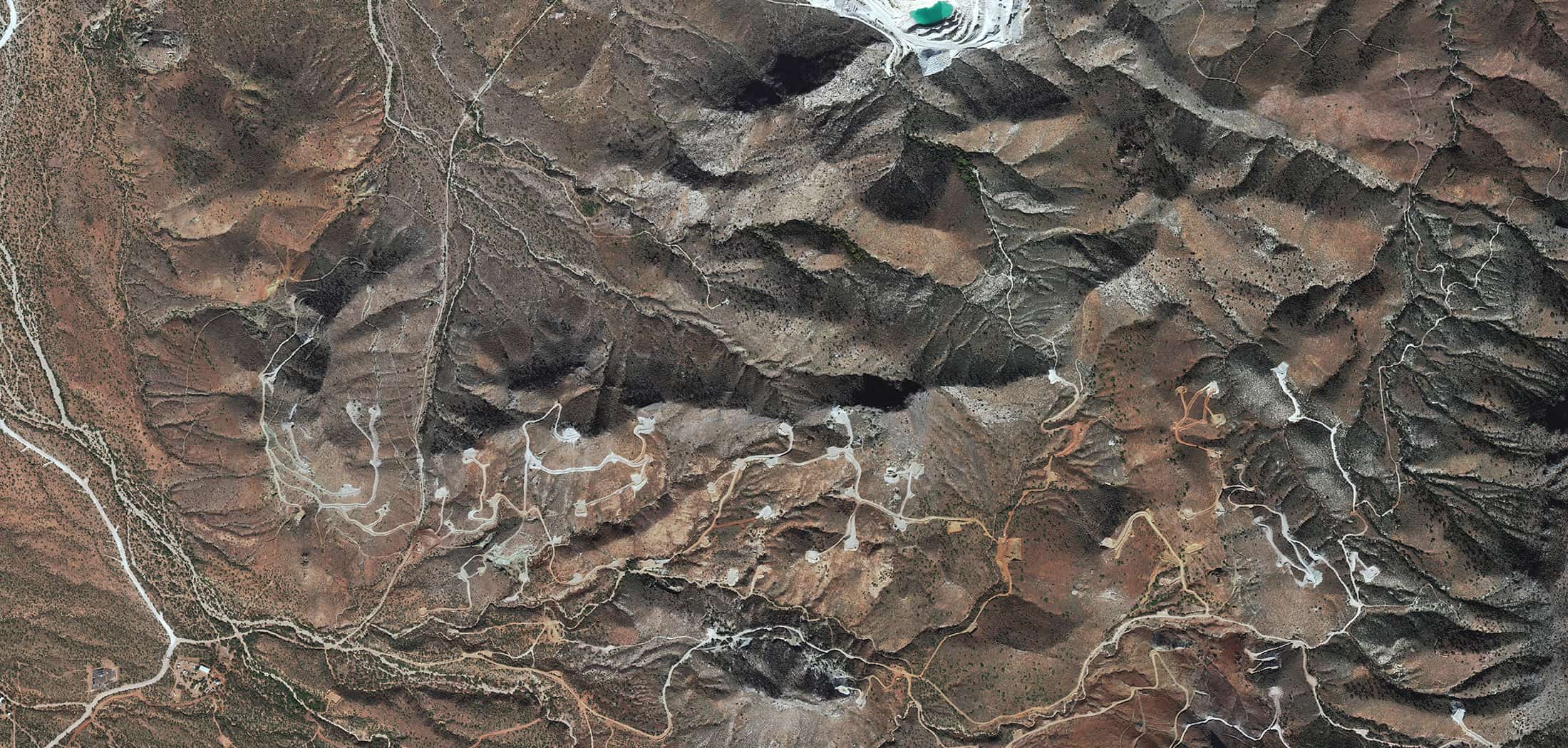
Mine Site Surveying

Support operations and development with engineering-grade site surveys, with no ground access required.

Our technical team is ready to work with you