Interpretation-ready data for mine and tailings management
Mine managers and engineers have a continual need for comprehensive survey data. For applications in planning and reporting, mining professionals need data that is site-wide, time-stamped, and accurate to ensure that site operations continue safely and efficiently.
The Data Insights Reporting Package is a custom supplementary report available with any recurring Mine Site Survey.
The Data Insights Reporting package is made up of custom deliverables.
Standard DeliverablesCustom Deliverables
No Standard Deliverables
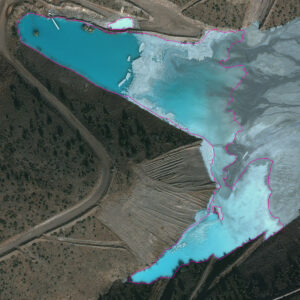
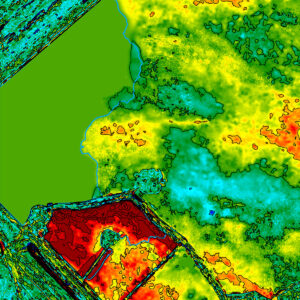
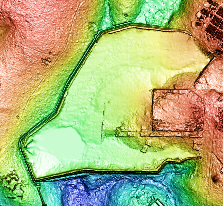
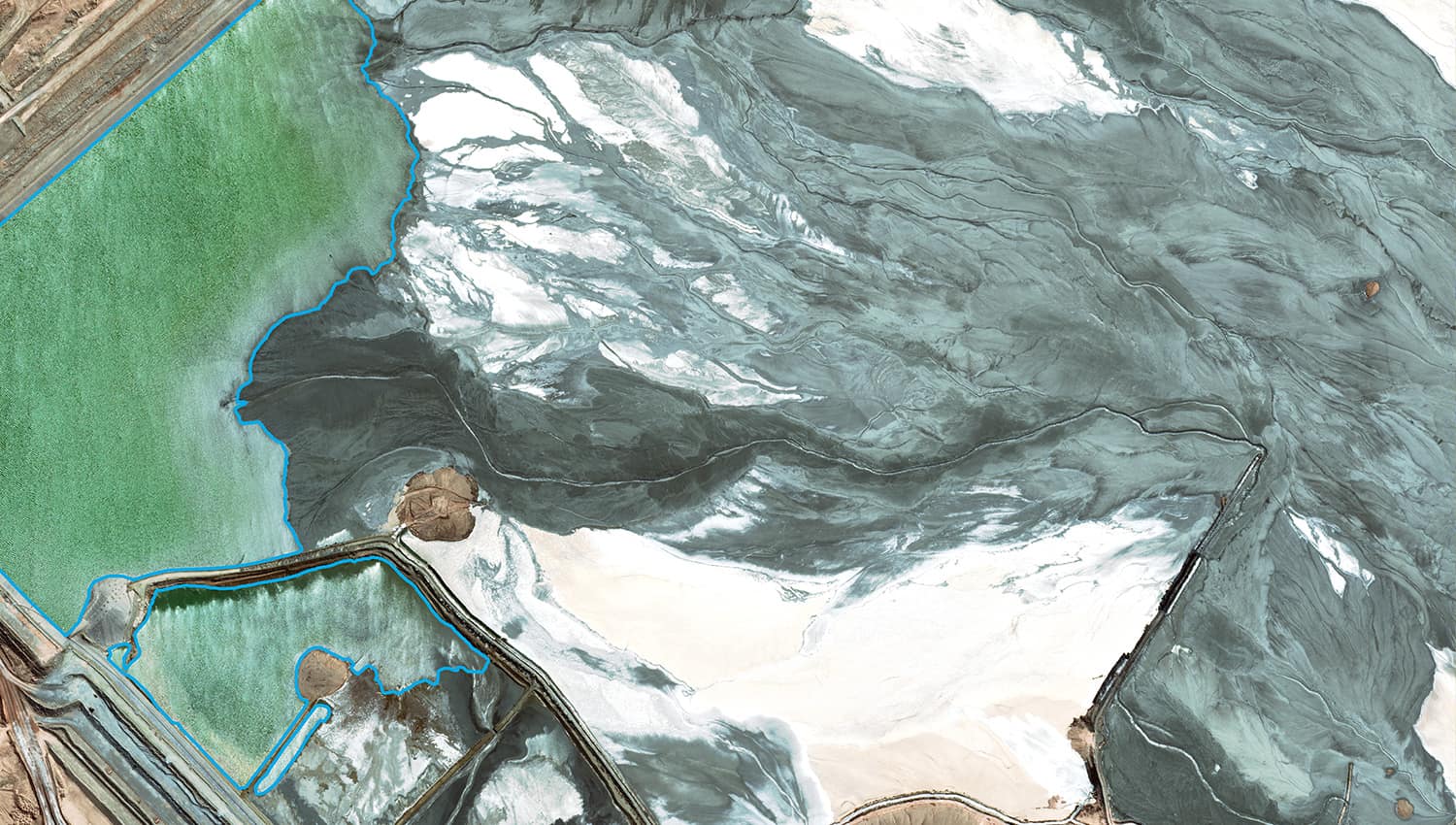
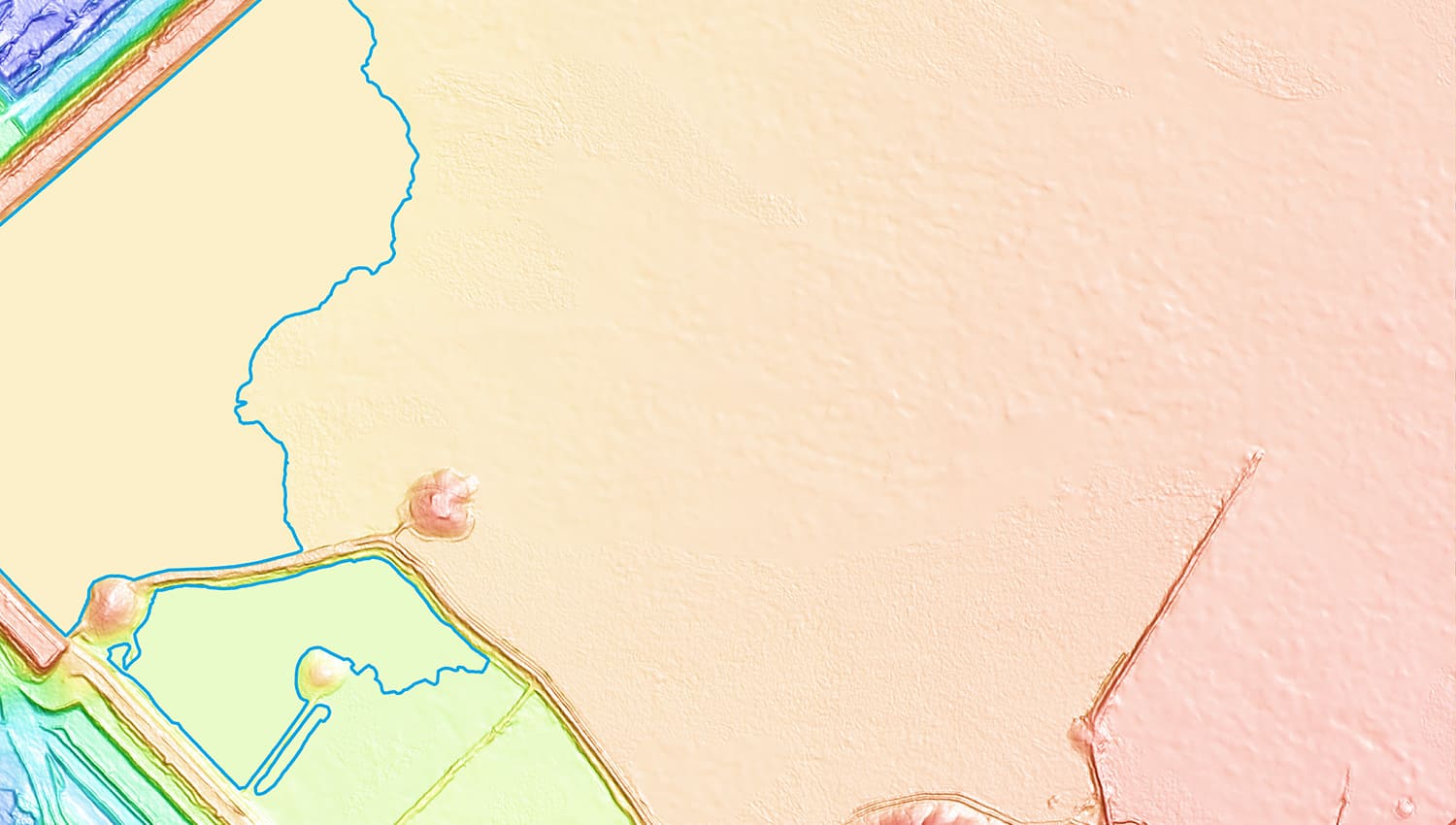
Water Body Outlines
Digital and geolocated linework of surface water including supernatant ponds, engineered tailings cells, naturally occurring water bodies, and/or seasonal accumulation.
Line: 1 pixel For water bodies 400 m2 or larger
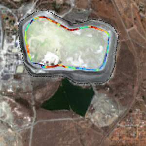
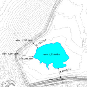
Freeboard Maps
Time-stamped measurement of vertical distance from tailings or water level to dam structure.
Scale bar: custom range
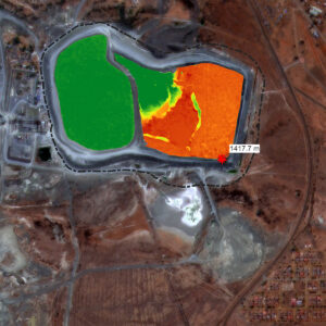
Capacity Maps
Time-stamped measurement showing storage capacity within TSF.
Scale bar: custom range
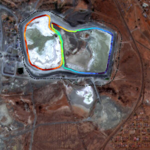
Dam Crest Elevation Maps
Time-stamped measurement of embankment wall crest elevation throughout TSF.
Scale bar: custom range
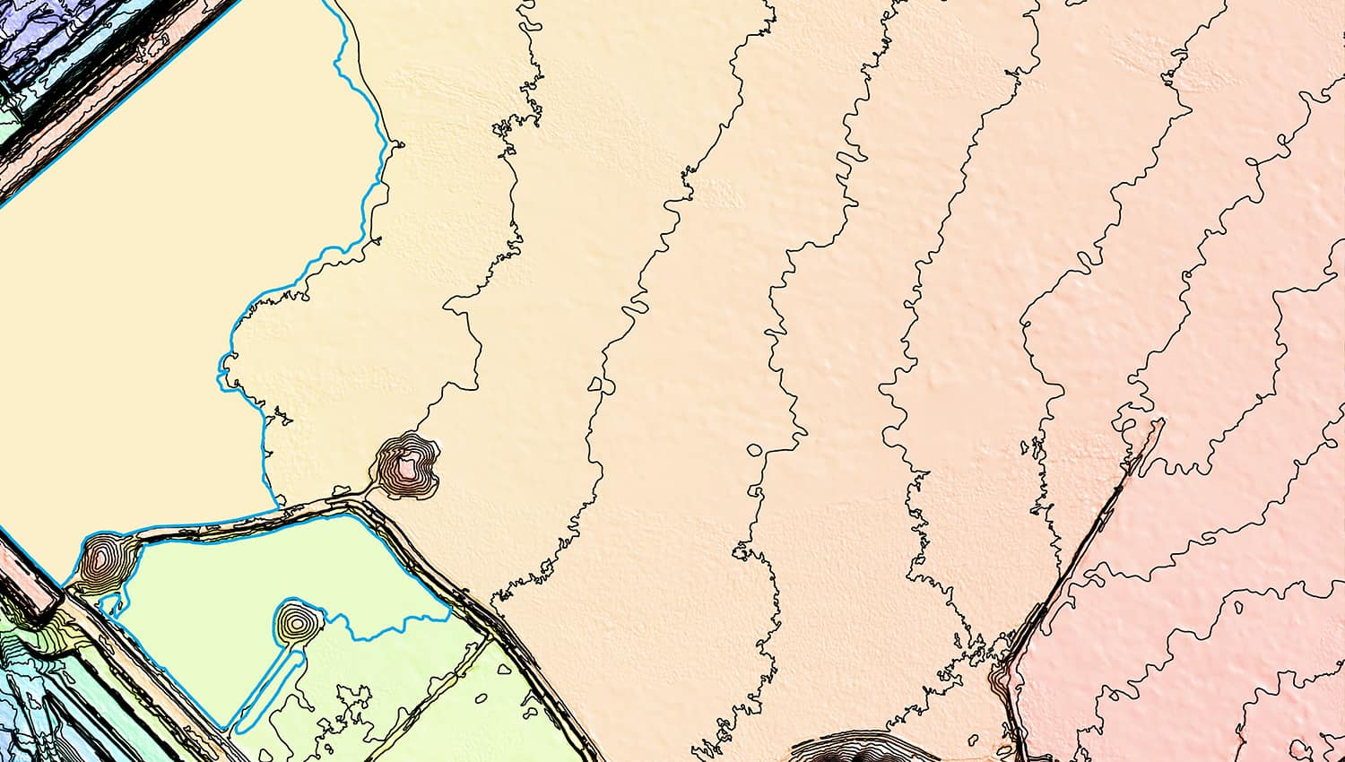
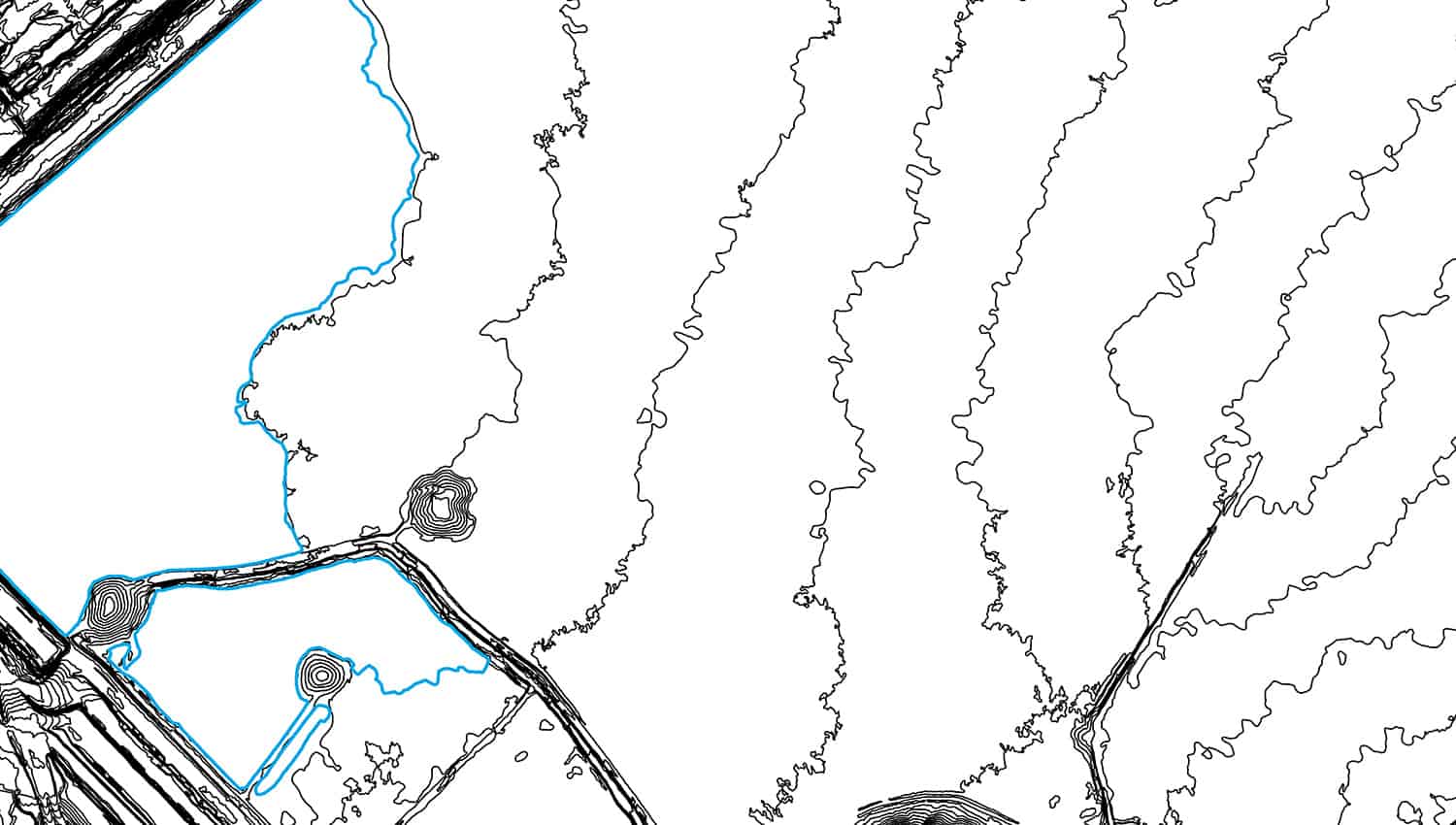
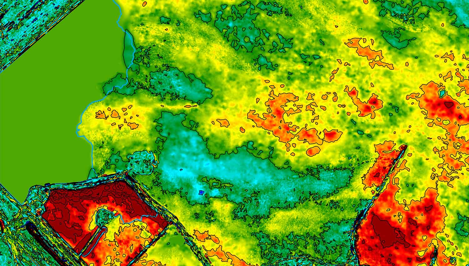
Deposition Isopachs
Time-stamped distance and volume measurements for tailings facilities, leach pads, stockpiles, waste dumps, and more.
Scale bar: custom range
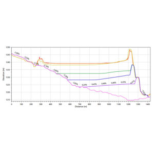
Beach Profiles
Time-stamped cross-sections showing the elevation and lift profiles of tailings beaches.
Cross-section(s): locations as per client request
Beach Lengths
Measured distance between the supernatant pond edge and tailings embankments.
Locations as per client request
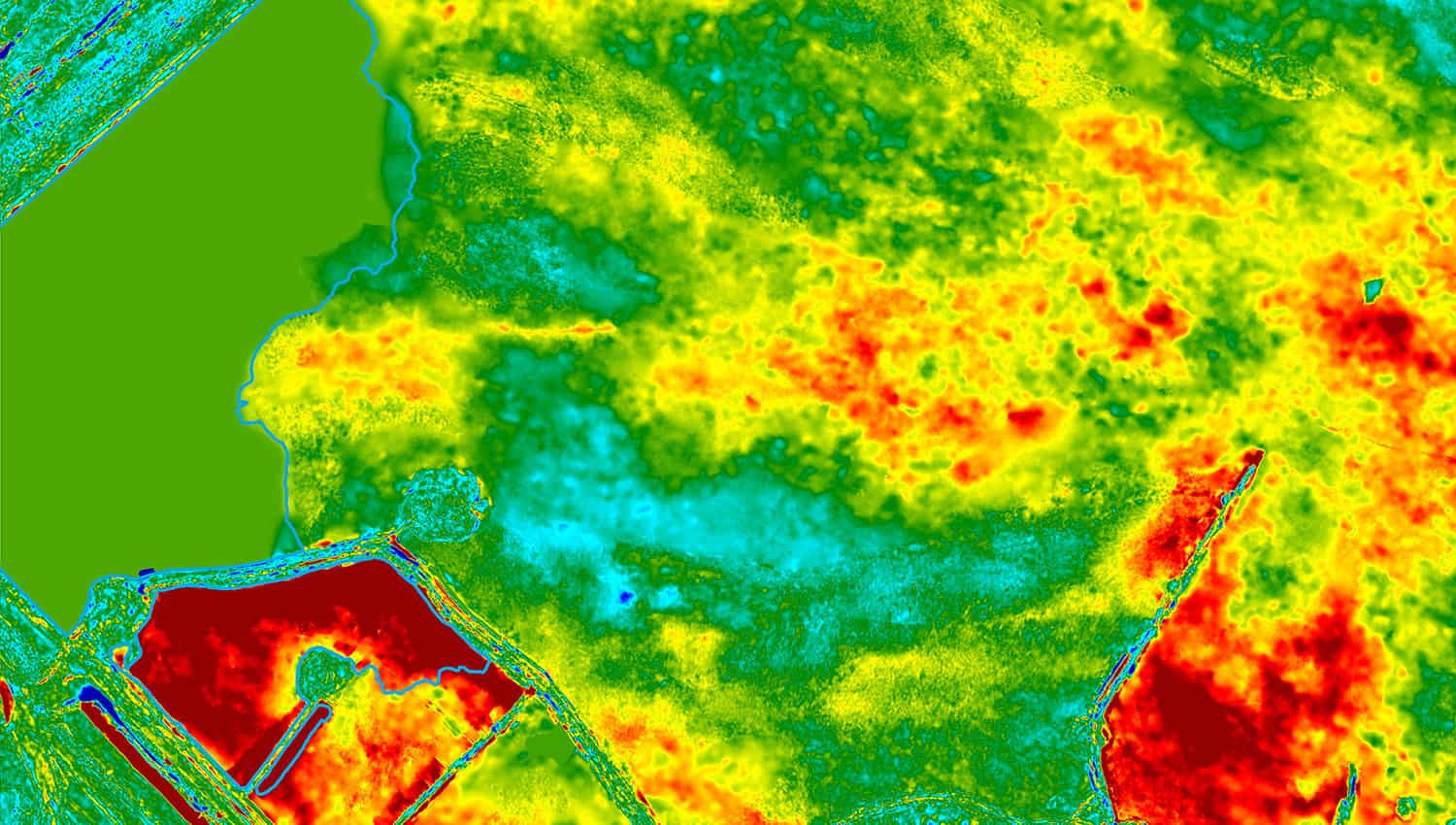
Change Visualization
Extent and direction of change (in x,y,z) for the ground surface between successive surveys.
Grid: 5 meter
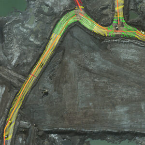
Road Widths
Assessment of infrastructure compliance with road width measurements.
Defined as per client specifications
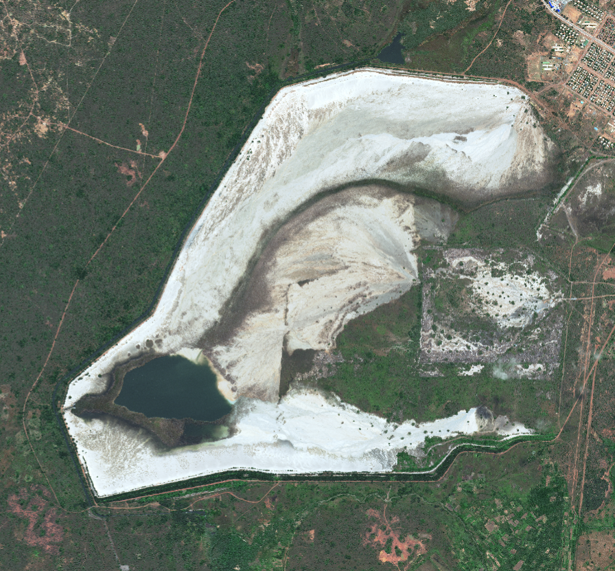
Jagersfontein Tailings Dam
How can data insights support operational integrity and reporting?