Interpretation-ready data for regional exploration programs
In regional exploration, areas of interest can stretch over thousands of square kilometers. Because these areas are usually large or inaccessible, gathering surficial data can be time consuming and difficult. But without geological data, geologists face major challenges in planning large-scale exploration programs.
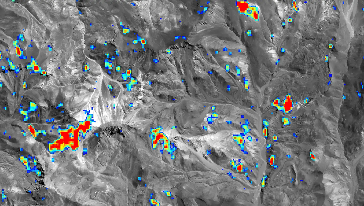
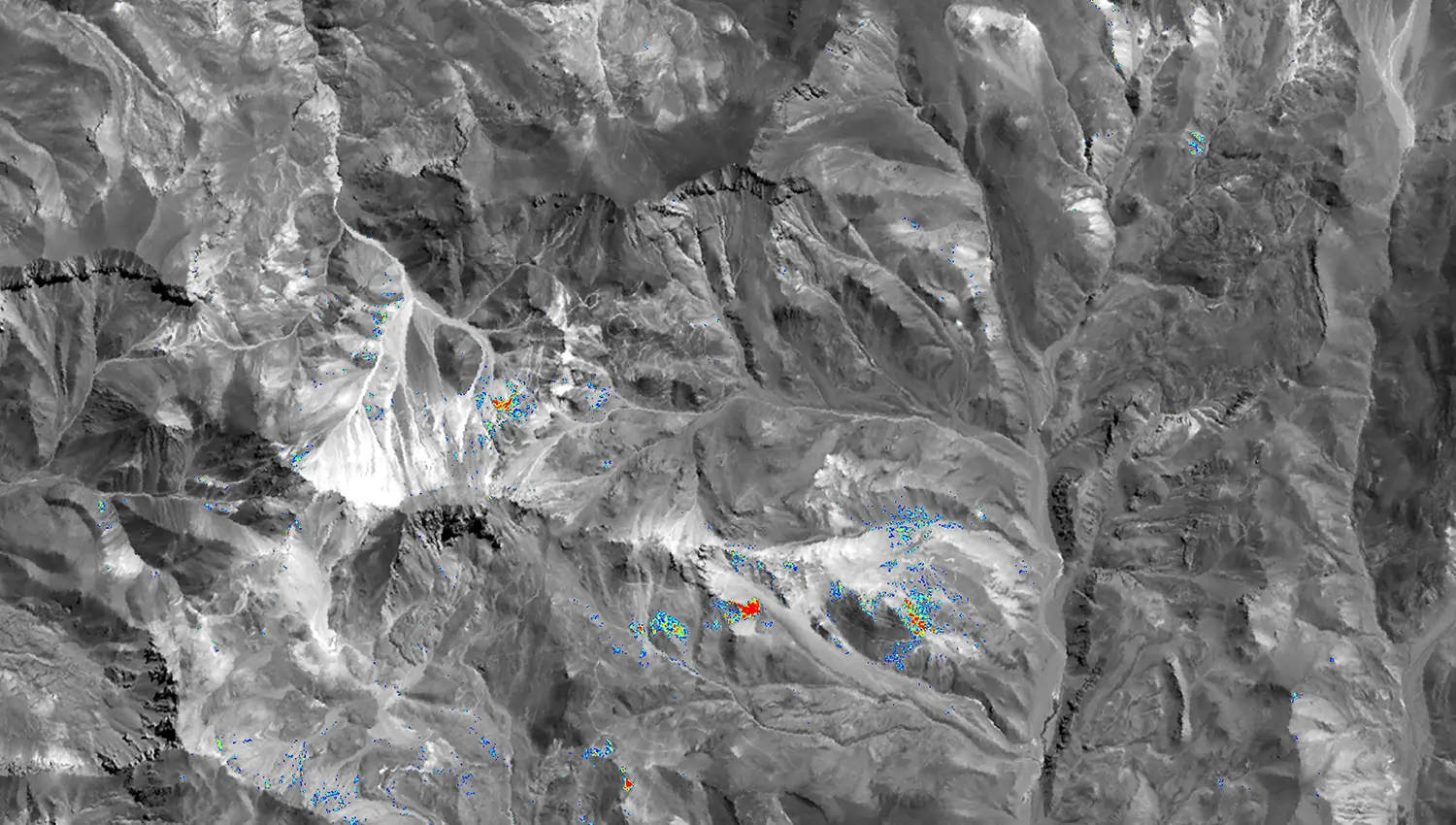
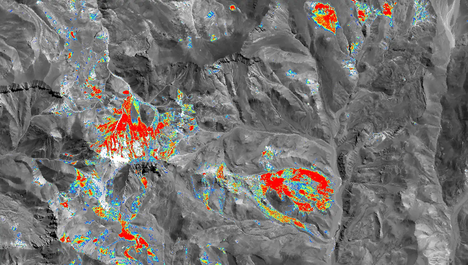
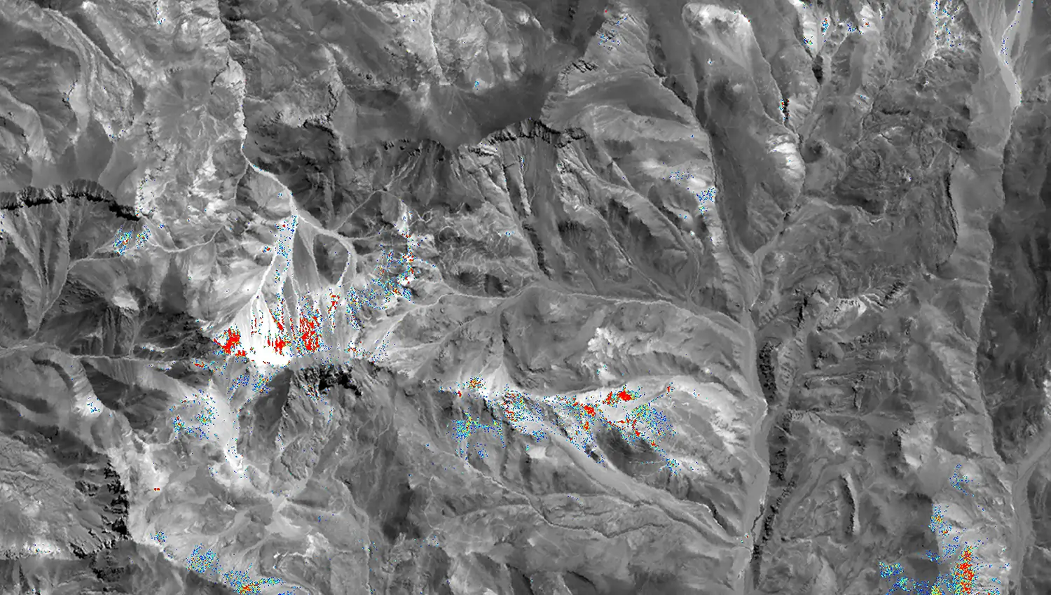
With PhotoSat’s Regional Alteration Mapping package, geologists get the unique data required to help select the best exploration targets, without the need for ground access.
Some specifications for alteration deliverables depend on the satellite used to acquire the imagery.
Spatial Resolution
Alteration Images (pixel size)
Context Images (pixel size)
WV3
Panchromatic (50 cm), VNIR (1.2 m), SWIR (3.7 m)
Alunite (2 m)
Kaolinite (2 m)
Buddingtonite (2 m)
Opal/chalcedony (2 m)
Calcite (2 m)
Chlorite/epidote (2 m)
Sericite (2 m)
Montmorillonite (2 m)
Goethite (2 m)
Hematite (2 m)
Jarosite (2 m)
Iron oxide gossans (2 m)
Geology enhanced image (2 m)
Colour orthophoto (50 cm)
Greyscale orthophoto (50 cm)
Vegetation index (2 m)
ASTER
VNIR (15 m)
SWIR (30 m)
TIR (90 m)
Alunite (12.5 m)
Kaolinite (12.5 m)
Buddingtonite (12.5 m)
Calcite (12.5 m)
Chlorite/epidote (12.5 m)
Sericite (12.5 m)
Iron oxide gossans (12.5 m)
Silica (75 m)
Geology enhanced image (12.5 m)
Greyscale orthophoto (12.5 m)
Vegetation index (12.5 m)
The Regional Alteration Mapping package includes these standard deliverables.
Standard DeliverablesOptional Deliverables
Alteration GeoTIFF
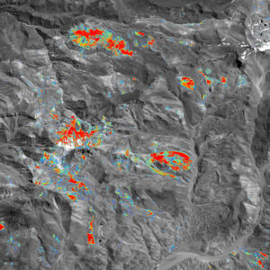
One interpretation-ready RGB alteration image for each mineral showing the 2D distribution from possible to probable and one customization-ready alteration image with the added ability to easily change colour tables and conduct additional analysis.
Resolution: 12.5 m pixel File format(s): GeoTIFF
Alteration Shapefile
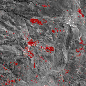
One 2D alteration vector file showing the distribution of each mineral and a second 2D alteration vector file showing the distribution of only the strongest alteration.
Resolution: 12.5 m pixel File format(s): Shapefile
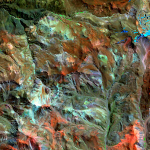
Geology Enhanced Image
A combination of two VNIR bands and one SWIR band to accentuate ground surface details that are not visible in a regular orthophoto.
Resolution: 12.5 m pixel File format(s): GeoTIFF
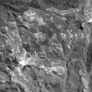
Greyscale Orthophoto
High-resolution orthorectified image of your project area, in greyscale.
Resolution: 12.5 m pixel File format(s): GeoTIFF
Vegetation Index
Density of vegetation throughout the project area.
Resolution: 12.5 m pixel File format(s): Shapefile
No optional deliverables
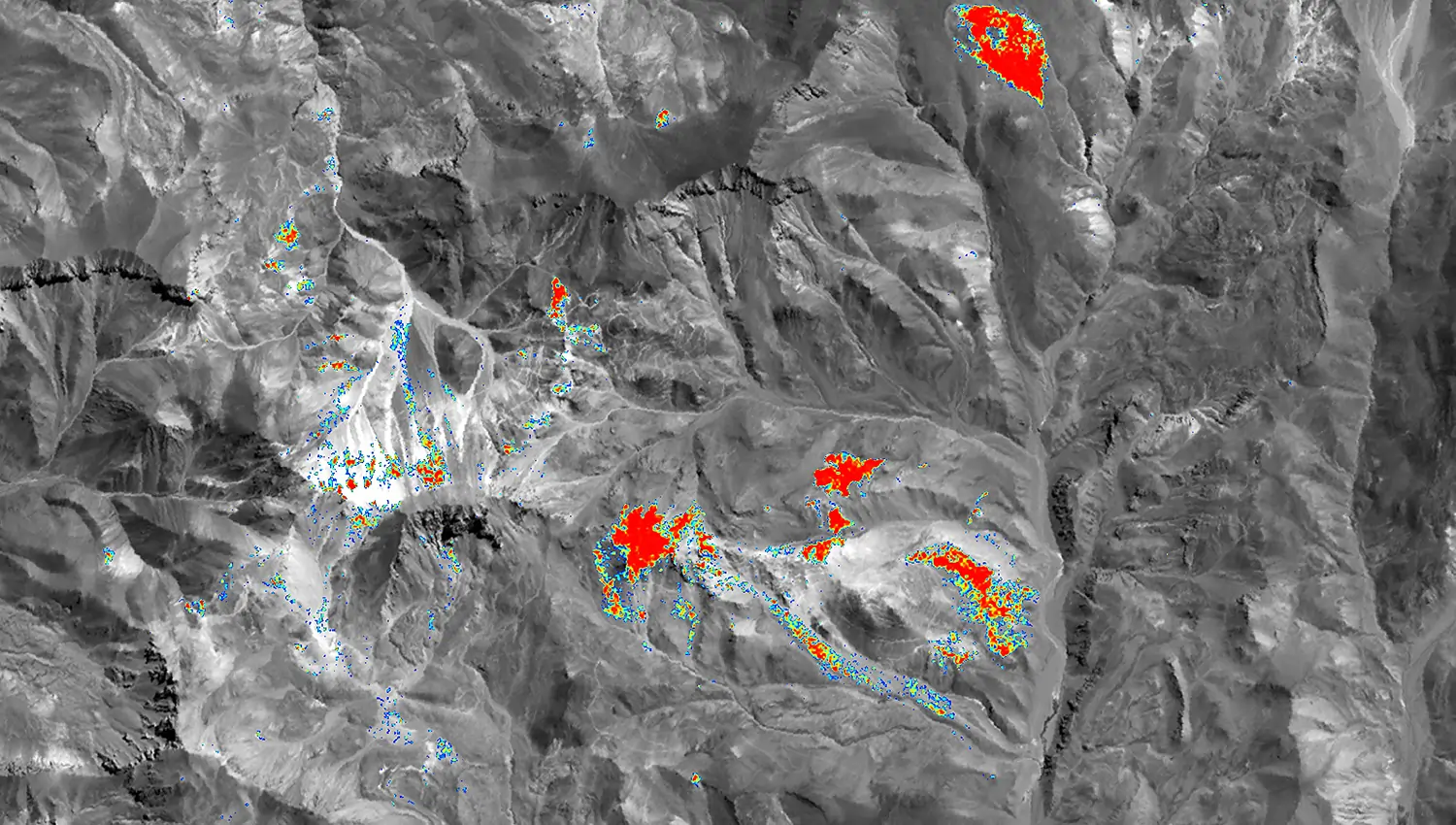
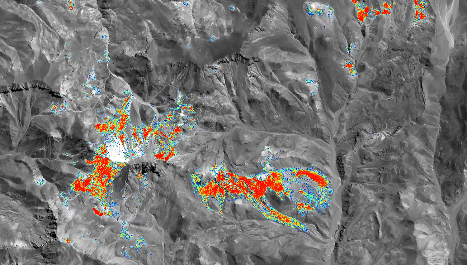
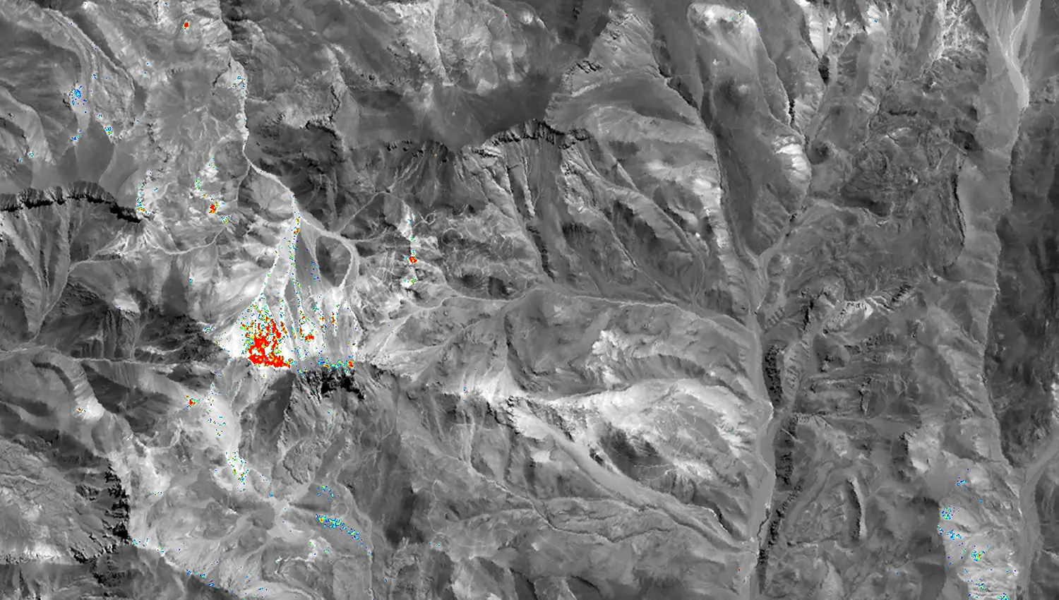
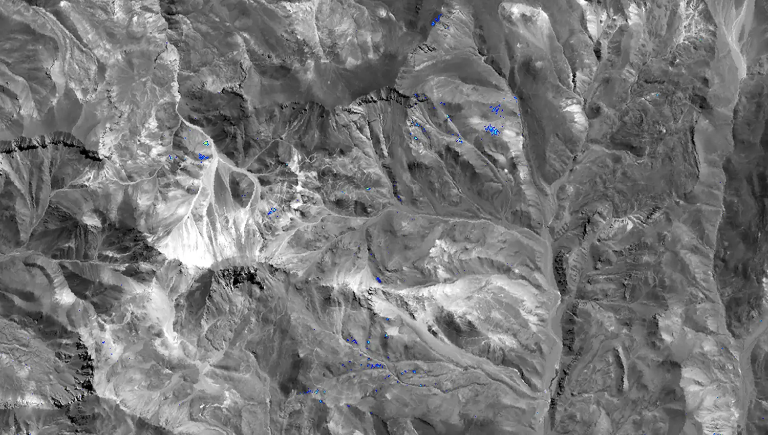
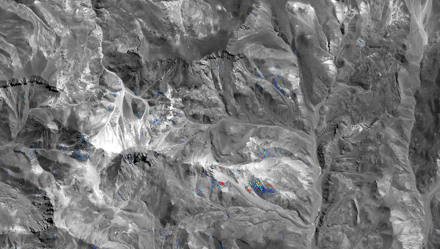
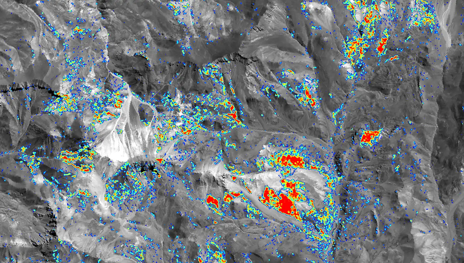
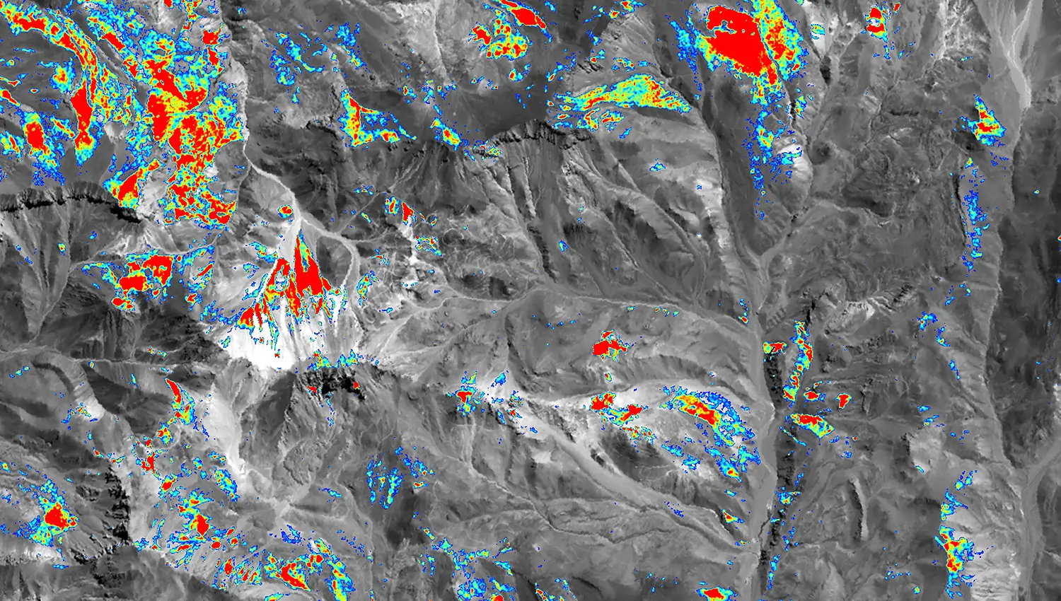
Cerro Casale with ASTER
How can alteration mapping from ASTER imagery support regional exploration planning?