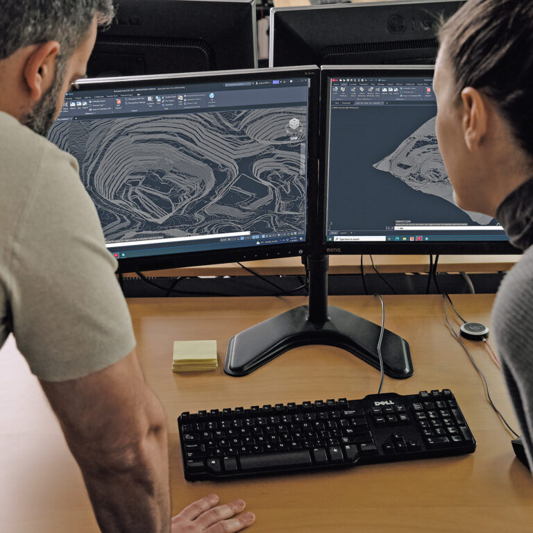
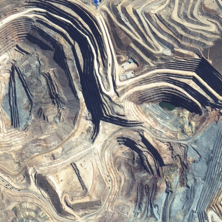
ABOUT SATELLITE MAPPING
PhotoSat completes satellite mapping projects for applications in feasibility studies, mining exploration, and preliminary planning. Using stereo satellite photos, we apply our proprietary software to generate reliable results almost anywhere in the world. Since we use satellites to capture images, we can map huge areas without ever setting foot on your site.
Since 2007, we have completed more than 1,200 projects in over 75 countries.
ACCURACY
Depending on your project requirements, we can offer different levels of mapping accuracy. In addition, we perform and publish accuracy studies, which are available at no cost.
PRODUCTS AND OPTIONS
Our standard satellite mapping package is used by professionals around the world.