ACCURACY

Levels of Mapping Accuracy

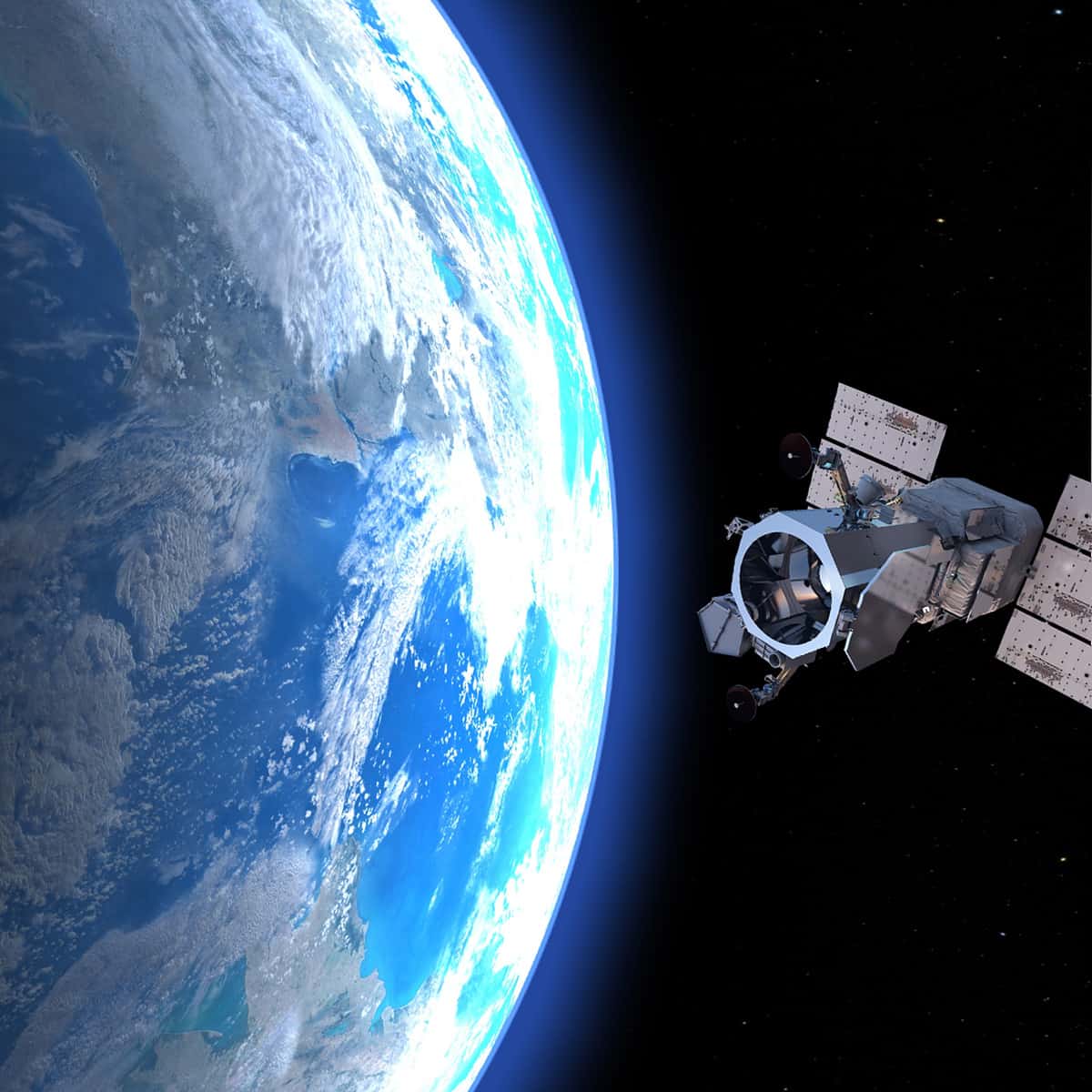
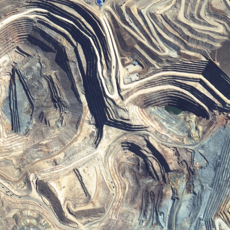
Satellite mapping is used for exploration, planning and feasibility studies. In these types of target areas, there are usually few or no ground control points. The vertical accuracy of satellite maps typically falls in the 1-2 m range.

LEARN MORE

Adding Ground Control Points

Satellite mapping does not require any ground control points. If you want to add GCPs, there are a few accepted practices.

LEARN MORE

How Photosat Produces Accurate Mapping

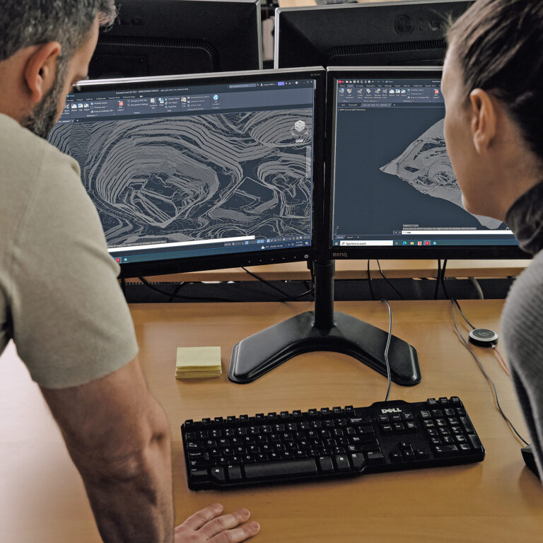
PhotoSat uses proprietary data processing algorithms, methods and software tools to create our mapping packages. PhotoSat has developed models to identify and adjust systematic distortions in the photos for most types of commercial stereo satellite systems. The use of these models in our satellite processing is an essential component of the PhotoSat surveying accuracy.

LEARN MORE

California Accuracy Study Test Areas

PhotoSat has tested the elevation surveying accuracy of a number of stereo satellite data sets using highly accurate, open source LiDAR data in SE California. Read more for test area images and examples.

LEARN MORE