Our Technology

Elevation Surveying

User-ready data for engineers
PhotoSat produces bare-earth surfaces (DEM/DTM), without any need for a site visit and in any file format and any coordinate system.
Precision Orthophoto
Colour Shade
Precision Orthophoto
Colour Shade

Satellite Imagery

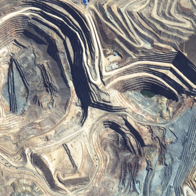
PhotoSat uses stereo satellite imagery from high-resolution optical satellites to produce elevation surveys of mine sites, infrastructure projects, inundation areas, and more. PhotoSat works with new or archive satellite imagery from many sources, including Maxar’s WorldView satellites and Airbus’ Pleiades and Neo satellites.

Accuracy Accuracy Satellite Ground Survey Quality Control Consistency Airplane Drone Spectral Matching Deep Learning Data Coordinate System Accuracy Engineering Geology Mineral Detection Mineral Detection

Deep Learning Technology

PhotoSat’s proprietary algorithms use deep learning technology. Our convolutional neural nets (CNN) undergo extensive testing and training. The process is reliable, repeatable, and continually improving.
Accuracy Accuracy Satellite Ground Survey Quality Control Consistency Airplane Drone Spectral Matching Deep Learning Data Coordinate System Accuracy Engineering Geology Mineral Detection Mineral Detection

Accuracy

PhotoSat has produced hundreds of elevation surveys for a global network of exploration projects and operational sites.
3-year statistical averages
Type: Mine Site Survey
Vertical Accuracy: 13 cm RMSE
Confidence: LE90 19 cm
Accuracy Accuracy Satellite Ground Survey Quality Control Consistency Airplane Drone Spectral Matching Deep Learning Data Coordinate System Accuracy Engineering Geology Mineral Detection Mineral Detection

Applications

PhotoSat’s elevation surveys have high accuracy and ground resolution, giving engineers crucial data insights for design, planning, operations, and monitoring.