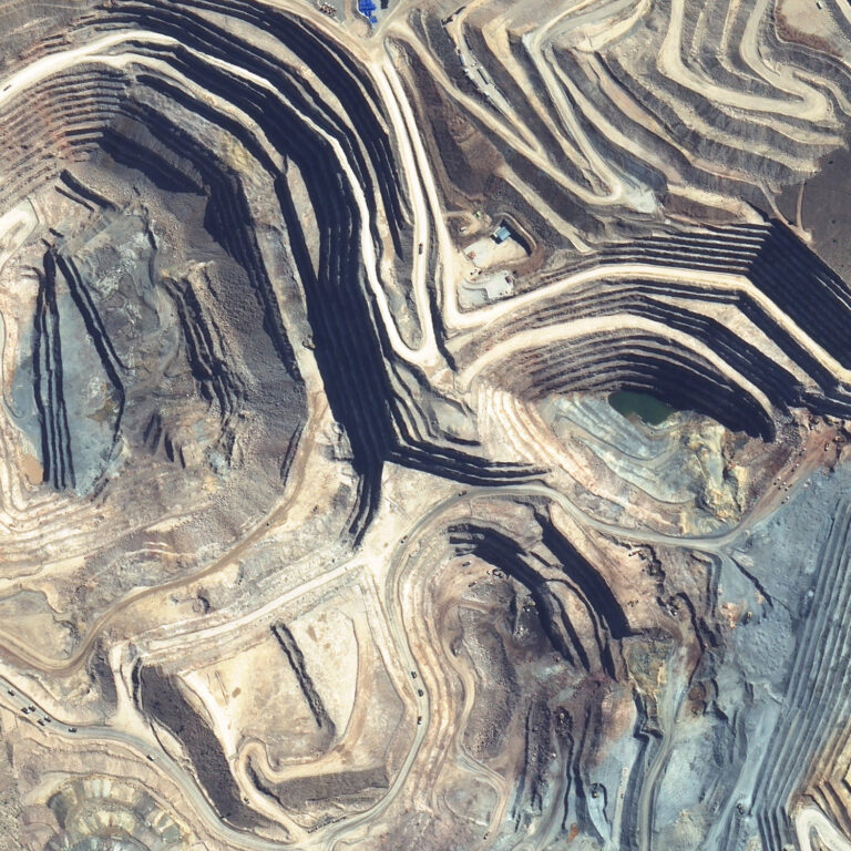
Recurring Survey Package

The Recurring Survey Package delivers survey data for your site automatically throughout the year. For active sites with tailings facilities or complex daily operations, the Recurring Survey Package is a practical way to obtain the data you need in a timely and consistent fashion.

Recurring surveys can be used to establish monthly production quantities, monitor dyke construction, and monitor tailings placement. A database like this can also be used to resolve contract disputes, meet unforeseen survey requirements, or address other unexpected situations. Overall, it forms an updated database of relevant topographic data.

Some sites rely on the satellite archive, which holds an extensive collection of photos. Unfortunately, with the satellite archive there is no guarantee that site-wide photos will exist at dates you may require. The Recurring Survey Package guarantees that a site-wide survey record exists at regular intervals.

Product Accuracy & Specifications

Our Recurring Survey Package comes with the following specifications:

Accuracy (vertical) <15 cm RMSE
Accuracy (volume) <1-2% error
Survey point density ~1 point per m2
Area Unlimited
Included
  • Orthophoto
  • Elevation grid
  • Colour elevation image
  • Contours
  • Accuracy report
Add-ons available
  • Water body outlines
  • Mine site toes and crests
  • Infrastructure and feature outlines
  • Volume measurement
  • Deposition graph
Thinned grid option On request

Delivery Time

The Recurring Survey Package can be delivered bi-weekly, monthly, or quarter. Custom delivery schedules are also available.

Location

Satellite surveying is a practical solution for global companies with sites around the world.