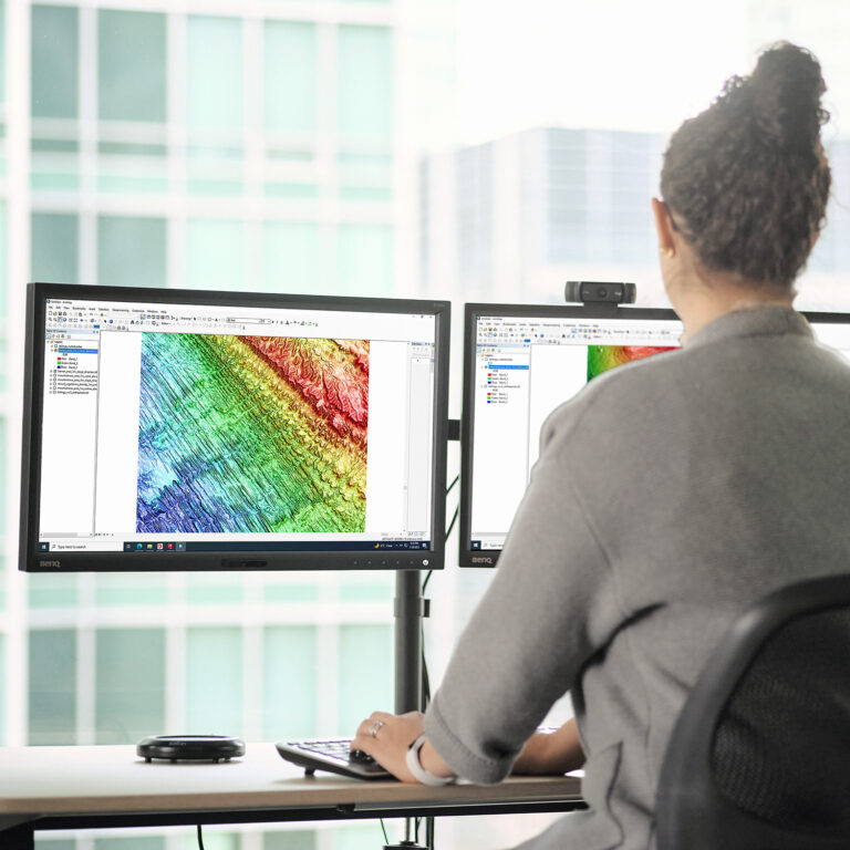
PhotoSat’s regional topographic maps are 3D elevation surfaces (DEM/DSM), produced with no site visit, in any file format, and in any coordinate system.
Orthophoto
Contour Lines
Orthophoto
Contour Lines
Satellite Imagery
PhotoSat uses stereo satellite imagery from optical satellites to produce regional maps of large and remote regions. PhotoSat works with new or archive satellite imagery from Maxar’s IKONOS satellite and Airbus’ SPOT satellites.
Deep Learning Technology
PhotoSat’s proprietary data processing uses deep learning technology. Our convolutional neural nets (CNN) undergo extensive testing and training. The process is reliable, repeatable, and continually improving.
Deep Learning Technology
PhotoSat’s proprietary data processing uses deep learning technology. Our convolutional neural nets (CNN) undergo extensive testing and training. The process is reliable, repeatable, and continually improving.
Consistency
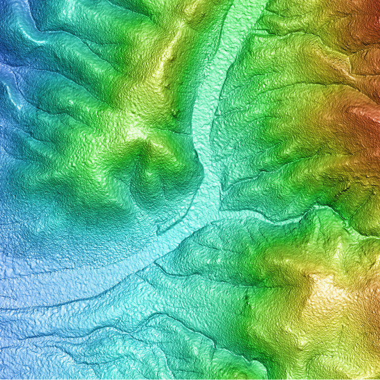
PhotoSat’s elevation maps are produced from satellite imagery that covers hundreds or even thousands of square kilometers.
See an accuracy study for regional topography (DEM) produced from SPOT satellite imagery.
PhotoSat’s Regional Topography has high consistency, giving exploration professionals reliable elevation data for geological targeting, exploration planning, and project logistics.
PhotoSat’s Regional Topography has high consistency, giving exploration professionals reliable elevation data for geological targeting, exploration planning, and project logistics.