Timeline for Delivery
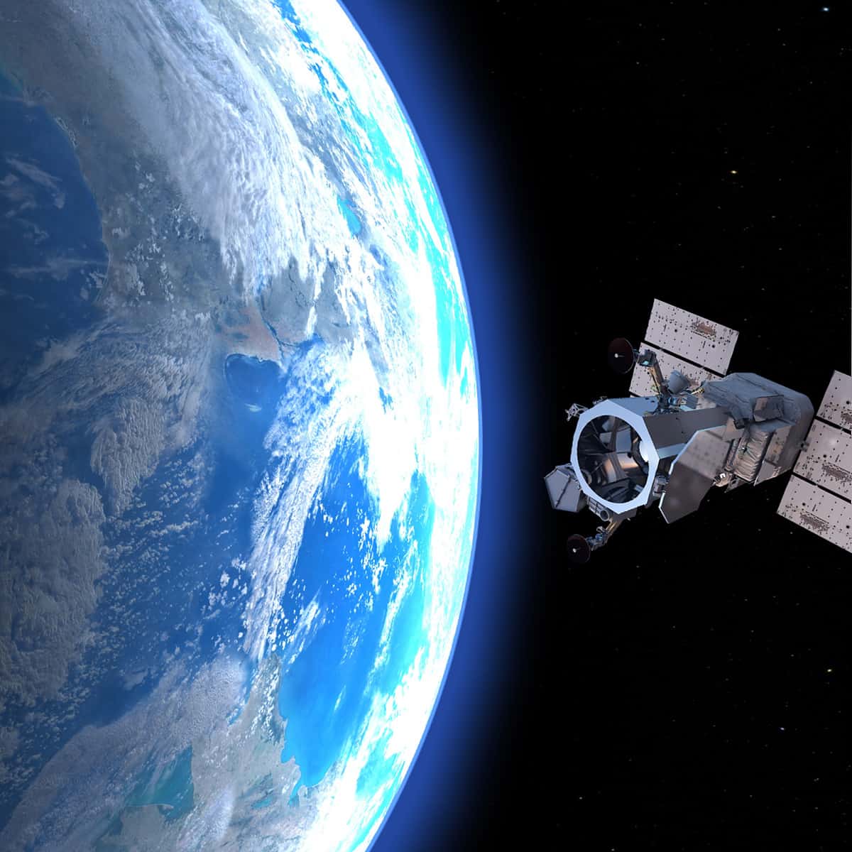
For mapping projects, we collect stereo satellite photos and then process them. Each phase is influenced by different factors.
Phase 1: Satellite Photos
We can either collect new satellite photos or use archived satellite photos.
Archived satellite photos
These photos have already been collected, skipping the time required to collect new photos. If these photos include the area needed, we may be able to use them instead of collecting new satellite photos.
New satellite photos
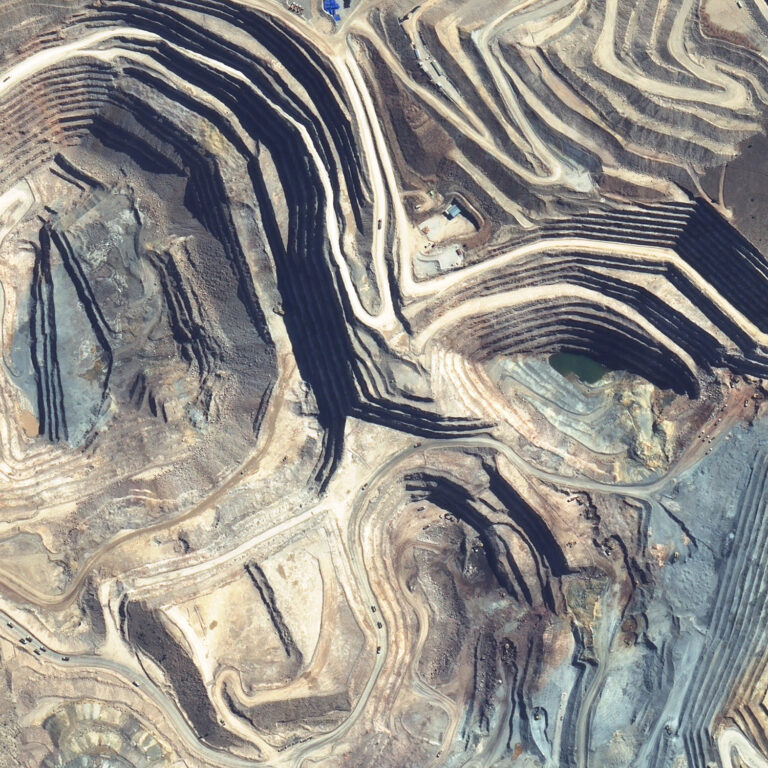
In areas of sparse vegetation, like the Chilean desert, collecting new photos may take a few days. Factors influencing the length of time to collect new photos include:
- Size of area: For large mapping targets, it may take several satellite passes to cover the entire area. A satellite can cover areas of 100 km2 in a single pass on a clear day.
- Colour orthophotos: To produce these, we need more photos as compared to greyscale.
- Persistent cloud cover: Some parts of the world have local weather patterns that make collecting clear satellite photos difficult. For example, certain areas in Northeastern Brazil can go weeks without a cloud-free day.
- Available satellites: In conflict zones, government orders take priority over commercial requests. It may take longer to obtain satellite photos over these areas.
Over cloud-free areas that are outside conflict zones, collecting new photos is relatively fast. It may take a few weeks or less. Collection times may vary.
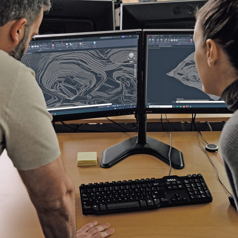
Phase 2: Data Processing
After collecting satellite photos, a different set of factors affects processing time:
- Terrain: In terrain with low grade slopes, there often are more points with the same elevation. This increases the file size and takes longer to process.
- Area: The time required for data processing is directly linked to the size of the mapping area.
- Above ground features: PhotoSat starts with stereo satellite photos, and then removes above ground features (e.g. trees and buildings) to create a surface. In dense forests or urban areas, it takes longer to remove all the above ground features.
For estimates on data processing times, contact us. Data processing times may vary.