Survey Histories from Archived Satellite Photos
It is common for mining companies and personnel to inherit tailings storage facilities (TSF). Following these transitions of custodianship, many tailings engineers find themselves responsible for facilities without supporting records of construction or deposition. Though no longer operational, these legacy TSFs still require monitoring and maintenance. But without reliable historical survey data, tailings engineers are faced with enormous challenges in properly managing these structures.
A lack of survey data compromises the work of tailings engineers
Survey records may have been lost during changes to ownership. If they do exist, they may contain gaps or errors. Or they may never have been collected in the first place. All reasons aside, a lack of accurate survey data can be a serious problem for tailings engineers.
Without records, it is difficult to properly manage TSFs
These structures are a serious liability when not properly managed. Without construction records, it is difficult to plan future modifications or establish its true risk of failure. And without knowing the volume and composition of the tailings deposit, it is difficult to conduct a credible dam breach analysis.
PhotoSat can use archived satellite photos to produce survey data
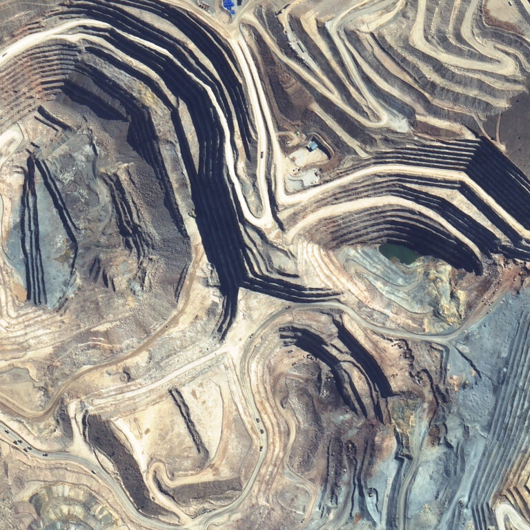
Mining companies can verify or address gaps in the survey record. By using archived satellite photos, it is possible to derive survey data going back as far as the 1960’s. Our comprehensive Tailings History Package is a practical solution for mining companies who need a full record of TSF construction and deposition.