ACCURACY

Processing and Accuracy Testing

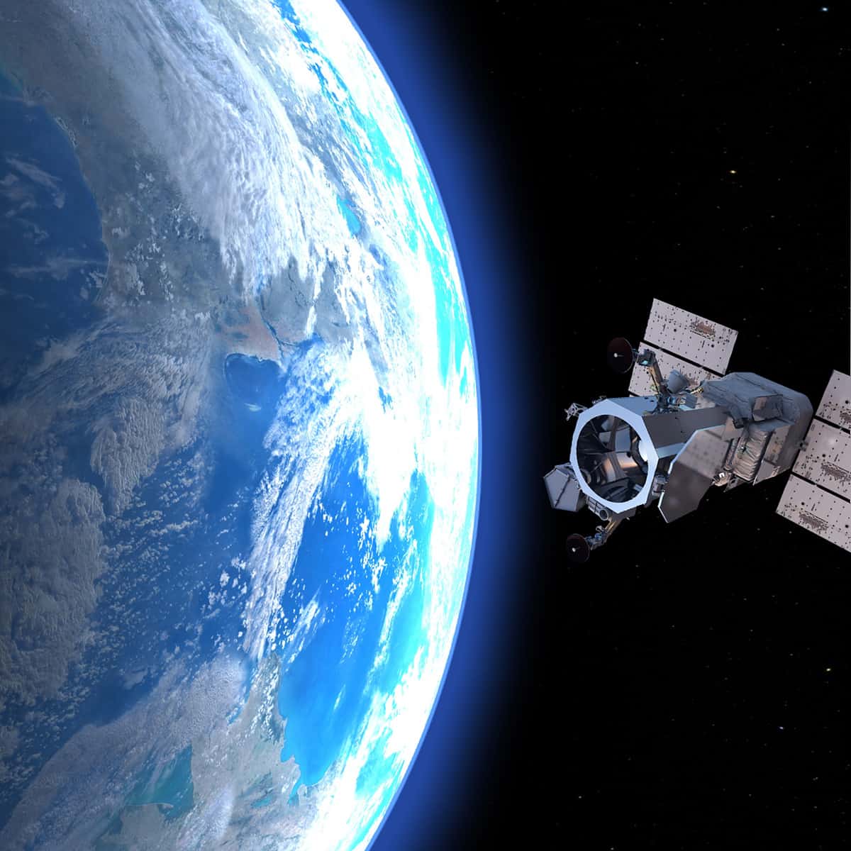
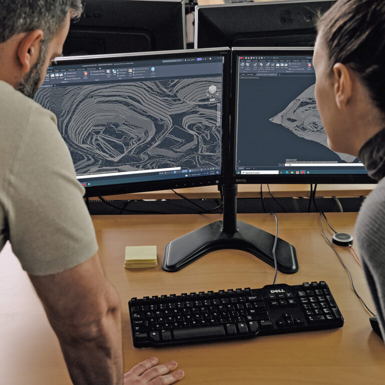
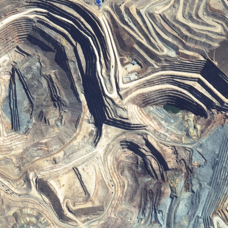
We use proprietary models to produce highly accurate elevation surveys from inline satellite photo pairs. Through rigorous accuracy testing, we can verify our results.

LEARN MORE

Levels of accuracy

PhotoSat offers a range of survey products for a variety of clients. We offer unique products for operating mines, mining exploration, and many other applications.

LEARN MORE

Accuracy Studies

To test our accuracy, we use different test areas with ground controls. We regularly publish in-house and independent accuracy studies.

LEARN MORE

Accuracy in Forest Covered Areas

Dense forest cover interferes with all survey methods to some degree. PhotoSat produces reliable estimates of bare ground elevation under dense forest cover.

LEARN MORE