Processing and Accuracy Testing

At PhotoSat, we combine meticulous data processing, rigorous testing, and high resolution satellite photos to produce elevation surveys.

Data processing with deep learning

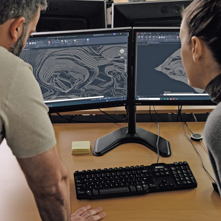
Our data processing team uses proprietary software with deep learning technology. Using stereo satellite photos, we follow a carefully controlled process to produce engineering-quality surveys.

Step 1: Photo processing with machine learning

With deep learning technology, our software adjusts 100s of parameters in the satellite photos.

Step 2: Identifying ground features with proprietary software

Using a second software program with deep learning, we identify features including water bodies, buildings, and trees. Some of the features are removed in this step.

Step 3: Data correction

In this step, we match our elevation survey to mine site controls. We also remove satellite distortions and correct photo alignment.

Step 4: Reprojection to mine site coordinates

To be consistent and user friendly, we adjust the data to match the mine coordinates.

Step 5: Conversion to a specific file format

Depending on the needs of the client, we can covert the deliverables to a few different formats. This depends on how the client wants to use the data.

Surveys incorporate previous survey data

We can incorporate pre-existing survey data, such as the following:

  • Mine site “as built” surveys
  • Oil & Gas 2D and 3D seismic source and receiver locations
  • Good quality LiDAR surveys

High-quality satellites capture photos

To achieve the accuracy needed for operating mines, we use specific satellites to collect photos, such as DigitalGlobe’s WorldView satellites. The stereo photos pairs are taken about one minute apart by the following satellites:

Depending on your industry’s survey requirements, we may use different satellites to capture photos. Some applications, such as preliminary planning and mining exploration, do not require our highest level of accuracy.

We also use these satellites:

  • Pleiades-1B
  • ALOS PRISM
  • SPOT 6 and SPOT 7
  • Kompsat-3A

PhotoSat Accuracy Testing

Survey accuracy is crucial to infrastructure projects and resource development.

Accuracy test areas

We use test areas that already have high quality reference data with established ground control points. In these test areas, we develop satellite photo distortion models, which are used in our data processing. They also make it possible to verify the accuracy of our satellite surveys.

  • Eritrean test area: The test area in Eritrea has more than 50,000 ground survey points, accurate to 2 cm in elevation. For more information on the Eritrea test area, click here.
  • Californian test area: This test area has several highly reliable LiDAR elevation survey grids, accurate to 5 cm in elevation. For more information on the California test area, click here.

Accuracy test process

To measure accuracy, we conduct elevation surveys on areas of bare ground where slopes are less than 20% grade. The measurement points must be at least 10 m away from features like buildings and trees.

We then compare our survey results with pre-existing survey data, such as good quality LiDAR.

Accuracy studies

We publish both independent third-party and in-house accuracy studies. These are available at no cost.

Independent accuracy studies  

The accuracy of our elevation surveys has also been verified by numerous independent accuracy studies. These independent studies have been conducted by PhotoSat’s clients. A few of these companies have generously given permission for PhotoSat to publish their accuracy results.

PhotoSat accuracy studies 

When sufficient ground survey data is available, PhotoSat publishes an accuracy report for completed projects or test areas. These reports compare the accuracy of PhotoSat survey data with other available survey data. In many projects, these reports reveal errors in the pre-existing project survey data.