ACCURACY STUDIES
In general, vertical accuracy is influenced by two factors:
- Density of ground control points (GCP)
- Which satellite collected the photos
Accuracy Studies with MAXAR Satellites
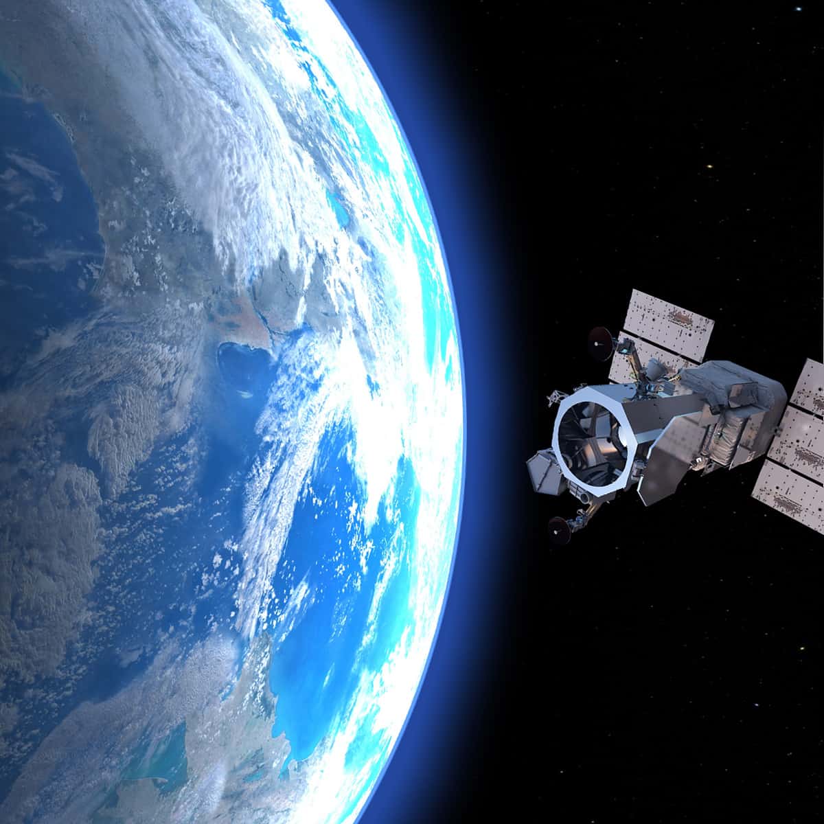
For our current surveying products and services, PhotoSat primarily uses MAXAR’s WorldView satellites.
Satellite | GCPs | Vertical Accuracy (RMSE) | Download Link |
---|---|---|---|
WV-3 | 1 | 13 cm | WorldView-3, 1 GCP, RMSE 13cm |
153 | 13 cm | WorldView-3, 153 GCP, RMSE 13cm | |
21 | 15 cm | WorldView-3, 21 GCP, RMSE 15cm | |
2 | 19 cm | WorldView-3, 2 GCP, RMSE 19cm | |
– | 15 cm | Comparison to LiDAR in California with 30cm WorldView-3: 15cm RMSE (PDF) | |
WV-2 | 1 | 15 cm | WorldView-2, 1 GCP, RMSE 15cm |
153 | 12 cm | WorldView-2, 153 GCP, RMSE 12cm | |
21 | 14 cm | WorldView-2, 21 GCP, RMSE 14cm | |
2 | 19 cm | WorldView-2, 2 GCP, RMSE 19cm | |
– | 15 cm | Updated: Elevation accuracy in Eritrea with WorldView-2: 15cm RMSE (PDF) | |
– | 28 cm | Elevation accuracy in Eritrea with WorldView-2: 28cm RMSE (PDF) | |
– | 33 cm | Comparison to LiDAR in California with WorldView-2: 33cm RMSE (PDF) | |
WV-1 | 21 | 19 cm | WorldView-1, 21 GCP, RMSE 19cm |
153 | 14 cm | WorldView-1, 153 GCP, RMSE 14cm | |
1 | 23 cm | WorldView-1, 1 GCP, RMSE 23cm | |
9 | 23 cm | WorldView-1, 9 GCP, RMSE 23cm | |
– | 19 cm | Elevation accuracy in Chihuahua with WorldView-1: 19cm RMSE (PDF) | |
– | 42 cm | Elevation accuracy in Eritrea with WorldView-1: 42cm RMSE (PDF) |
Accuracy Studies with Other Satellites
Since 2005, PhotoSat has worked with photos from many different commercial satellites. Some of these satellites are still used to produce our mapping products.
Satellite | GCPs | Vertical Accuracy (RMSE) | Download Link |
---|---|---|---|
Pleiades-1B | 74 | 26 cm | Pleiades-1B, 74 GCP, RMSE 26cm |
1 | 28 cm | Pleiades-1B, 1 GCP, RMSE 28cm | |
Kompsat-3A | 14 | 21 cm | Kompsat-3A, 14 GCP, RMSE 21cm |
1 | 50 cm | Kompsat-3A, 1 GCP, RMSE 50cm | |
11 | 48 cm | Kompsat-3A, 11 GCP, RMSE 48cm | |
1 | 53 cm | Kompsat-3A, 1 GCP, RMSE 53cm | |
GeoEye-1 | – | 31 cm | Elevation accuracy in Eritrea with GeoEye-1: 31cm RMSE (PDF) |
– | 25 cm | Comparison to LiDAR in California with GeoEye-1: 25cm RMSE( PDF) | |
IKONOS | – | 48 cm | Elevation accuracy in Eritrea with IKONOS: 48cm RMSE (PDF) |
Spot 6 & 7 | 1 | 1.4 m | SPOT 7, 1 GCP, RMSE 1.4m |
ALOS PRISM | 1 | 2.4 m | ALOS PRISM, 1 GCP, RMSE 2.4m |
3 | 1.2 m | ALOS PRISM, 3 GCP, RMSE 1.2m |
Test Areas
To conduct accuracy studies, we use test areas that have accurate reference data. These include:

Asmara, Eritrea

Garlock Fault, California