PhotoSat Kompsat-3A stereo satellite surveying accuracy study
Garlock Fault, 1 GCP, 50cm RMSE
August 2016
Garlock Fault, 1 GCP, 50cm RMSE
August 2016
- 144 km2 surveyed using only one ground reference survey point
- This Kompsat-3A satellite elevation survey is accurate to 50 cm RMSE, determined by comparison to 6,294 elevation check points from a highly accurate LiDAR survey
- July 2016 Kompsat-3A stereo satellite photos processed by PhotoSat in August 2016
Gerry Mitchell, P. Geo, Geophysicist, President PhotoSat
August 2016

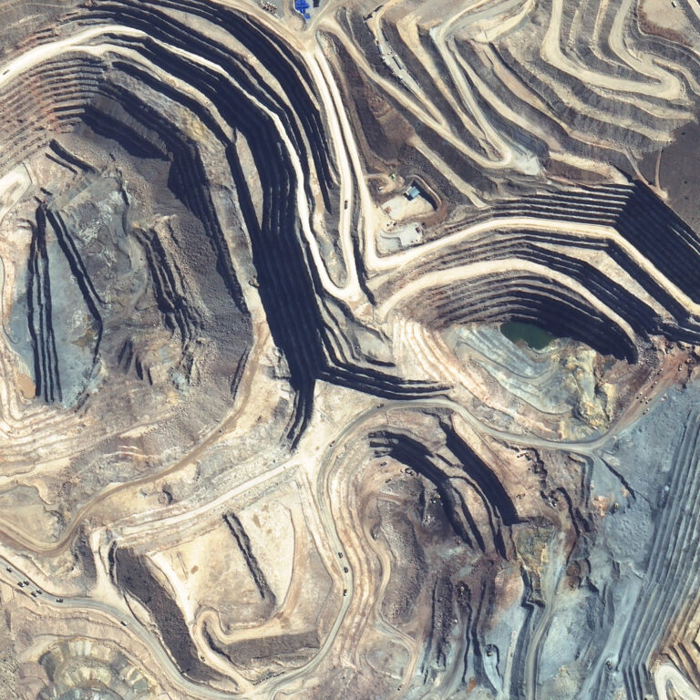
Kompsat-3A colour image with 50cm contours from the PhotoSat Kompsat-3A survey of the California test area.
The Garlock Fault was surveyed with a LiDAR in April 2008 by OpenTopography. www.opentopography.org. We believe this LiDAR survey to be accurate to 5cm RMSE.

An elevation image showing the portion of the Opentopography.org LiDAR survey used in this accuracy study. The dimensions of the area are 14.5km east–west by 9.9km north–south. Lower elevations are blue and higher elevations are red. The oval is the Honda California Test Track.
Stereo satellite photos:
The satellite photographs the same ground area within a minute or two. The ground conditions are close to identical on the two photos. The difference in appearance of ground features on the photos is due to the different look directions of the satellite camera.

Stereo Kompsat-3A elevation image covering the area of the LiDAR survey. This elevation grid has an elevation point every meter. Low elevations are blue and high elevations are red. The rectangular feature south of the track and the smaller area to the west are fields of solar panels installed since 2014.

Elevation checkpoints for areas with slopes of less than 20% grade.
California elevation grid:
Ground reference points:
Accuracy evaluation check points:
Elevation survey accuracy statistics:

Histogram of the elevation differences between the Kompsat-3A stereo satellite elevations for the 14.5 km by 9.9 km area and the 6,294 elevation checkpoints with slopes less than 20% grade. The Guidelines for Digital Elevation Data of the US National Digital Elevation Program (NDEP) recommends that elevation checkpoints should be chosen in areas with slopes less than 20% grade. RMSE 50 cm, LE90 85 cm.