Pricing
Pricing is influenced by two main factors:
- Size of survey area
- Type of satellite photo: new or archive
New vs. Archived Satellite Photos
New Photos
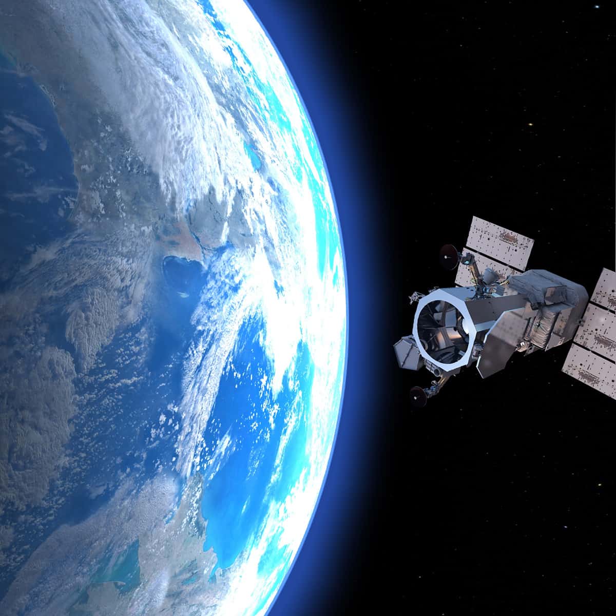
By using new satellite photos, we can ensure that your elevation survey has only the most current data. Satellite collection normally takes anywhere from a few days to a few weeks. It can be delayed by factors such as persistent cloud cover.
Archived Photos
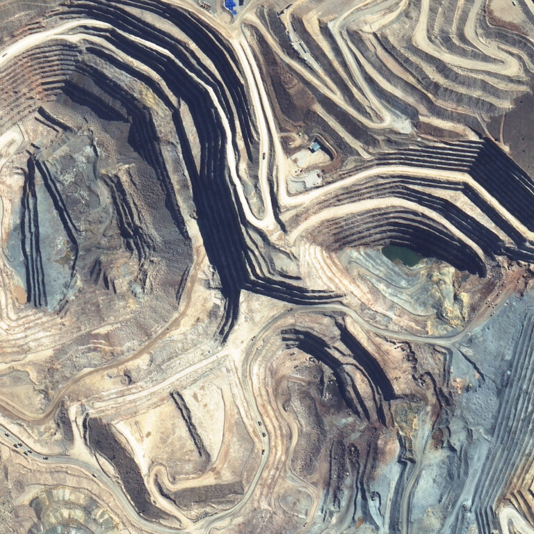
For some situations, it may be possible to use archived satellite photos to produce an elevation survey. This lowers cost and skips the time required to collect new satellite photos. Archived photos can also be used to create a historical survey record. For some regions, archived satellite photos are available going back as far as the 1960s.
Standard Survey Package
These are pricing estimates for the Standard Survey Package:
For 25 km² survey | For 100 km² survey | |
---|---|---|
New photos | $14,500 USD | $22,000 USD |
Archived photos | $10,500 USD | $20,000 USD |
Additional Deliverables
Some products are covered by custom quotes. These are:
- Water body outlines
- Mine site toes and crests
- Dam breach study inputs
- Tailings histories
- Tailings monitoring