INCLUDED IN YOUR DOWNLOAD
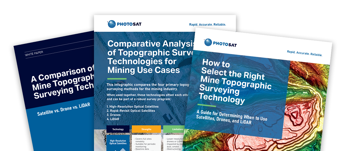
Whitepaper – A technical evaluation of satellites, drones, and LiDAR with a strategic breakdown of remote sensing options, their strengths, and limitations
eBook – A framework for selecting the right monitoring approach based on site constraints, data requirements, and operational goals.
Infographic – At-a-glance comparison of resolution, accuracy, cost, and deployment timelines across technologies.
